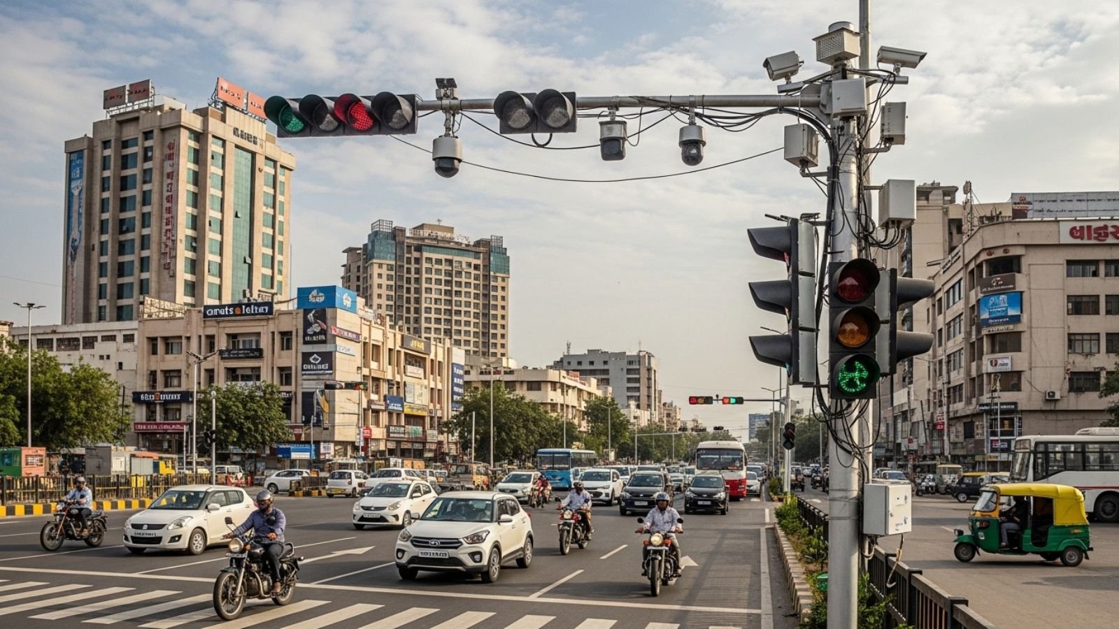
Ahmedabad has introduced an AI-powered Adaptive Traffic Control System (ATCS) to replace traditional fixed-timer traffic signals with dynamic, real-time management. This initiative is part of a larger plan to modernize traffic operations across the city. While the long-term goal is to connect around 400 junctions, the current rollout focuses on a high-impact pilot phase.
Current Implementation Status (April 2026)
The AI traffic system Ahmedabad 2026 is currently active at 10 key junctions, mainly in the western part of the city. These initial locations are part of the pilot phase designed to test real-time traffic management capabilities.
Following successful trials, officials plan to expand the system to an additional 50 junctions in the next phase. The overall objective is to eventually integrate more than 400 junctions into a unified smart traffic network aimed at improving urban mobility.
How the AI Traffic System Works
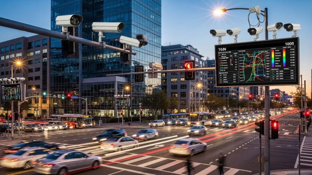
The Adaptive Traffic Control System uses a network of cameras and sensors to monitor live traffic conditions.
Unlike traditional signals, the system makes dynamic adjustments by analyzing vehicle density, speed, and lane usage in real time. This allows signals to respond to actual road conditions instead of following fixed timers.
The system also reallocates green signal time efficiently. If a lane clears faster than expected, the remaining time is redirected to lanes with heavier congestion, reducing unnecessary waiting.
During low-traffic periods, the system improves efficiency by cutting down wait times. At Ambawadi Circle, for example, waiting time has been reduced from around 90 seconds to between 30 and 60 seconds.
Key Active Pilot Junctions
The Adaptive Traffic Control System is currently operational at several major intersections, including:
- Ambawadi Circle
- Nehrunagar Circle
- Shivranjani Crossroads
- ISKCON Cross Road
- Jodhpur Cross Road
- Star Bazaar Tran Rasta
- ISRO Gate
- Shivanand Ashram
- Ramdevnagar
- CN Vidyalaya Junction
These locations represent high-traffic zones where real-time signal adjustments can have immediate impact.
Next Phase Expansion Plans
After monitoring the current pilot sites, the next phase will include 50 more junctions. The expansion is being planned based on traffic density and congestion patterns.
Key areas identified for expansion include:
- Relief Road, especially near Revdi Bazaar and Kalupur Police Station
- SG Highway, with signals planned at Ujala Circle, Gurudwara, Thaltej Circle, Sola Bhagwat, and Gota Bridge
- High-priority congestion points such as Memco Junction, Victoria Garden (Ellisbridge), and Shyamal Junction
- Historic locations including Prem Darwaza and Dariapur Darwaza
These areas are expected to benefit from improved traffic flow through the real time traffic management system.
Long-Term Outlook of the Project
The long-term plan of this project, estimated at around ₹899 crore, is to cover approximately 400 junctions across the city by 2026–27.
The system will use over 6,500 CCTV cameras to provide continuous real-time monitoring. It also aims to enable “green corridors” for emergency services such as ambulances, ensuring faster response times during critical situations.
Conclusion
Ahmedabad’s AI-based Adaptive Traffic Control System marks a shift from fixed signal timing to real-time traffic management. With the pilot phase already active and expansion plans in place, the project focuses on improving traffic flow, reducing waiting time, and supporting better road management across the city.
Frequently Asked Questions
Q1. What is the Adaptive Traffic Control System in Ahmedabad?
A1. ATCS is an AI-powered system that replaces fixed-timer traffic signals with real-time, dynamic management using cameras and sensors to analyze vehicle density and adjust signal timing.
Q2. How many junctions are currently using the AI traffic system in Ahmedabad?
A2. The system is currently active at 10 key junctions in the western part of the city as part of the pilot phase.
Q3. How much has waiting time reduced at Ambawadi Circle?
A3. Waiting time at Ambawadi Circle has been reduced from around 90 seconds to between 30 and 60 seconds.
Q4. What are the expansion plans for the AI traffic system?
A4. The next phase will include 50 more junctions, with areas like Relief Road, SG Highway, Memco Junction, and historic locations such as Prem Darwaza identified for expansion.
Q5. What is the long-term goal of the project?
A5. The long-term plan is to cover approximately 400 junctions across the city by 2026–27 using over 6,500 CCTV cameras and enabling green corridors for emergency services.